Wetlands Mapping Layer is No Substitute for Boots on the Ground
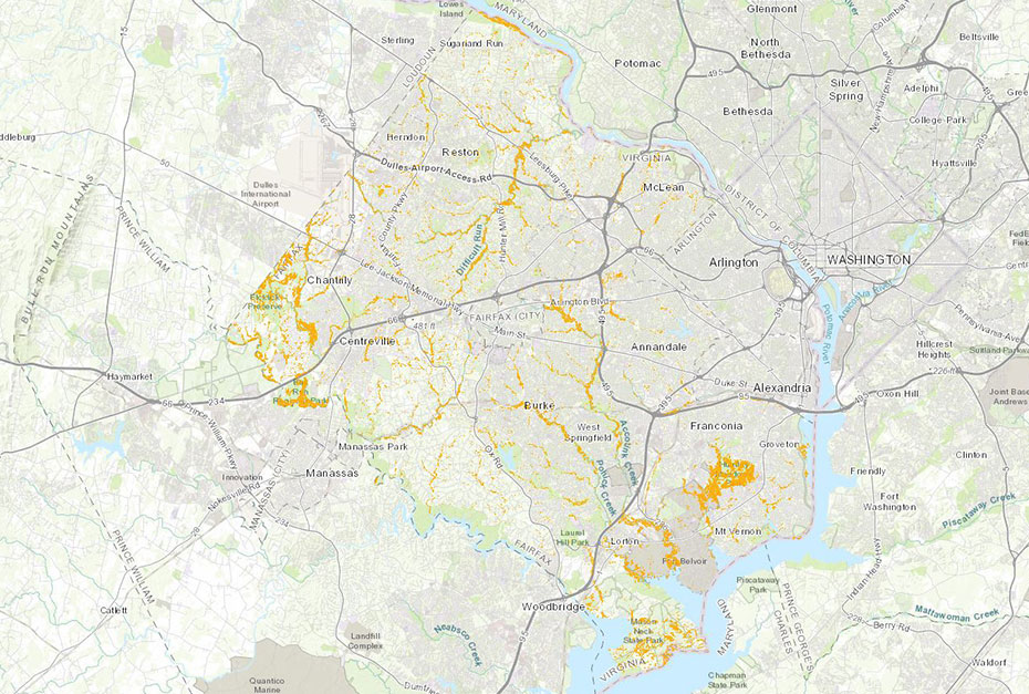
In September, Fairfax County announced an interactive mapping application that can be used to identify potential wetland locations. This new tool makes it easier than ever to identify any potential wetlands in proposed project areas in Fairfax County, however it is not a substitute for on the ground delineation of jurisdictional Waters of the U.S. (WOTUS). Wetland Studies and Solutions, Inc. (WSSI) compared the Potential Wetlands Area Map (Map) with a sample of sites where we had delineated and survey-located wetlands, and found that the Map, because it is based simply on mapped hydric soils and slopes less than five percent, generally, but not always, depicts more potential wetland than is actually present.
While the Potential Wetlands Area Map can be used as an initial evaluation tool, it is not a substitute for an actual wetland delineation and subsequent Jurisdictional Determination from the Corps.
Most County-mapped sites in our sample depicted three to five times the actual wetland area, with outliers at 13 and more than 28 times as much wetland area. Conversely, a few sites had more delineated wetland area than depicted on the Map, and in one instance WSSI had delineated – and obtained Corps verification of – wetlands on a site but the Map did not show that any were present. Therefore, it is critical that the Map be used only as an initial assessment tool. As Fairfax County states in their September 17 announcement: “This data does not replace the need for site-specific Resource Protection Area (RPA) delineation when required by code. It also does not replace other field analysis required when wetlands permits are necessary from the Army Corps of Engineers.” This would also apply when wetland permits from the Virginia Department of Environmental Quality are required.
Fairfax County requires that applicants for many land disturbance permits declare if their activities will impact a potential wetland as depicted in the National Wetlands Inventory (NWI) or the County Potential Wetlands Area Map, both shown in GIS layers of the County Mapper. If the answer is yes, then before moving forward they must show evidence that the necessary permits have been obtained or verification from the U.S. Army Corps of Engineers (Corps) that no permit is required. Even if the answer is no, this does not alleviate the need for a WOTUS delineation and potential Corps permit, as the tools are simply for initial assessment.
Remember that WOTUS includes both wetlands and streams, as well as some ponds. The Map includes the County’s hydrology layer, as well as streams depicted in the NWI layer. As with the Potential Wetlands Area Map, the hydrology layer may, but not always, show more watercourses than are jurisdictional WOTUS, while NWI tends to underestimate jurisdictional streams.
While the Potential Wetlands Area Map can be used as an initial evaluation tool, it is not a substitute for an actual wetland delineation and subsequent Jurisdictional Determination from the Corps. To discuss the potential or actual wetlands and streams on your site in Fairfax County and beyond, please reach out to the contacts below.