UAV alone is a powerful tool, but combined with our Reality Capture capabilities we can offer our clients a unique way to visualize their project and show stakeholders the potential in the site.
Aerial, Mobile, and Backpack LiDAR
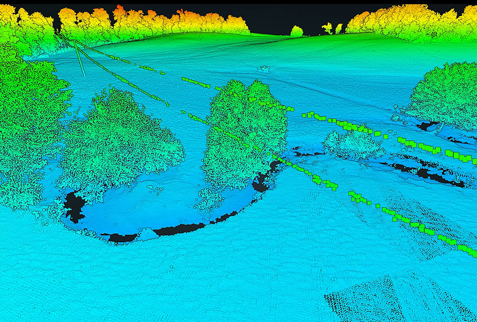
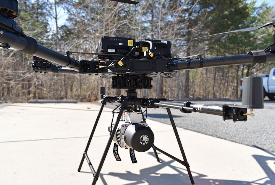
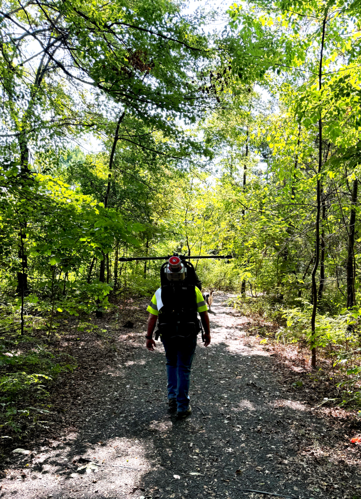 WSSI has aerial, mobile, and backpack-mounted LiDAR capabilities to address all kinds of sites and data collection needs. Our use of Unmanned Aerial Systems (UAS), photogrammetry, and LiDAR is an efficient and cost-effective way to readily access difficult locations and cover expansive project sites. These technologies allow WSSI to produce 3D data sets and monitor project locations to survey-grade accuracy.
There’s No One Better in the Field
WSSI’s Reality Capture team consists of Licensed Surveyors, an ASPRS-Certified Mapping Scientist-LiDAR, physical photonic scientists, programmers, developers, data analysts, experienced FAA-Certified drone pilots (14 CGR Part 107 Small Unmanned Aircraft Systems), and graphical artists. Our experienced staff work together seamlessly to provide our clients with unique deliverables and creative solutions for their project’s needs. We have the ability to easily integrate and process data – piecing it all together and providing you with a clear vision of what is feasible on your site.