WSSI is proud to announce that our own Jim Quirin, Senior Project Surveyor and Manager – DevOps, has earned his Certified Mapping Scientist-LiDAR certification from ASPRS; there are fewer than 50 people who have earned that certification. Jim and WSSI’s commitment to excellency in LiDAR mapping translates to the most precise and reliable data for our clients and their projects. Successful projects need accurate data.
The American Society for Photogrammetry and Remote Sensing plays a key role in establishing and maintaining high standards of accuracy, consistency, and direction within the geospatial industry. Their commitment to developing comprehensive standards not only guarantees the precision and reliability of projects but also shapes best practices and guidelines.
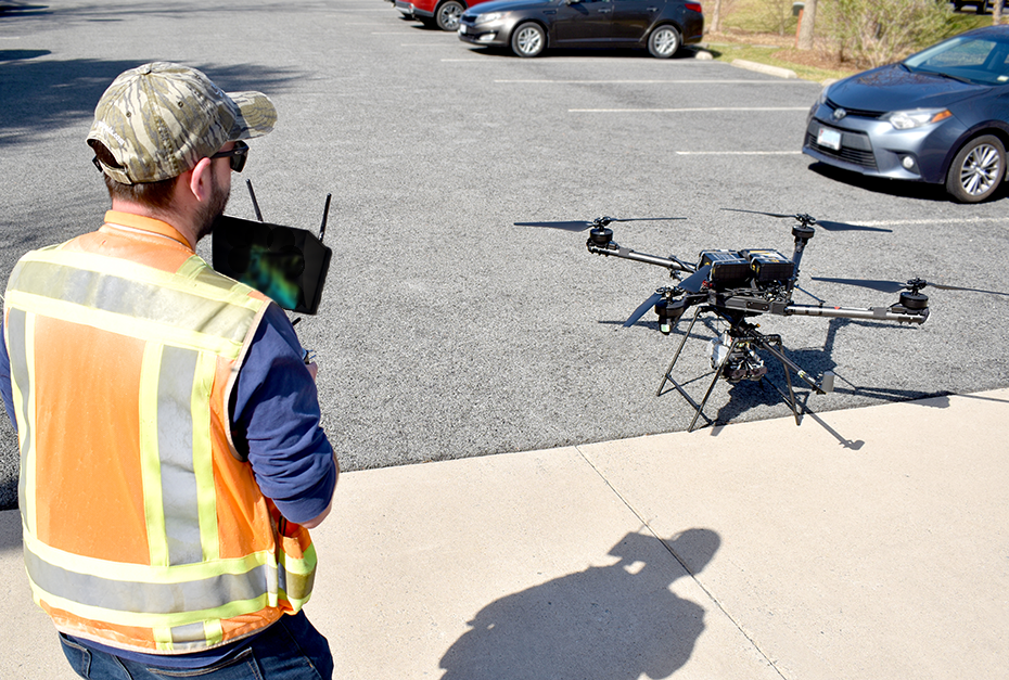
Learn more about WSSI’s LiDAR mapping,
Reality Capture, and UAS-based services.