D.C. Wetland Conservation Plan – Updated for 2020!

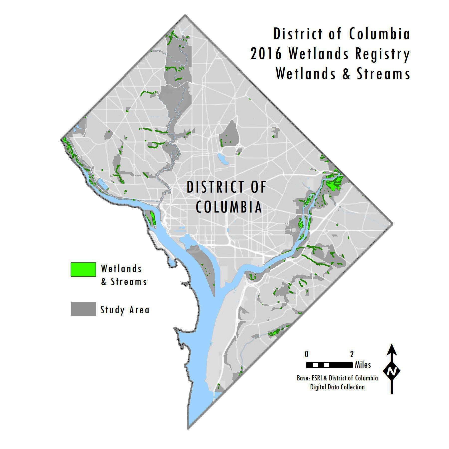
In addition to the recent emergency rulemaking, the District of Columbia Department of Energy and Environment (DOEE) has released an updated Wetland Conservation Plan. WSSI worked with the DOEE from 2015 to 2018 to update the District’s Wetland Conservation Plan from its 1997 version.  As part of this effort, our GIS and Environmental Science staff completed a desktop reconnaissance of the entire District, performed months of field work to delineate and assess wetlands, and helped develop the written conservation plan that focuses on the District’s wetland resources, their condition, and the regulations that ensure their continued existence and enhancement.  This updated Wetland Conservation Plan is now available to the public.

The significance of the District’s Wetland Conservation Plan is that it allows conservation agencies, non-profit groups, citizens, and developers alike to determine where wetlands exist within the District.  With this advance knowledge, developers are able to plan avoidance or restoration measures earlier in the development process.  If a developer determines that a project may not be able to avoid a mapped wetland, the Wetland Conservation Plan identifies the measures that must be taken if the wetland is impacted, per the District’s wetland regulations.  The plan also maps areas within the District that have the potential for wetland creation, to help identify possible mitigation areas that can be used to offset unavoidable impacts.

One unique aspect of the 2020 Wetland Conservation Plan is the accompanying Wetland Registry geo-database that WSSI GIS staff developed to house all the information that we collected throughout this project.  Using our custom database, DDOE’s site users can select a specific wetland and immediately view the location, size, functions and values, restoration or enhancement needs, and representative photographs.

WSSI completed this project for DOEE through a grant award, and it involved a significant effort from both our GIS and Environmental Science departments.  We are proud to contribute to this project that will serve the District and its stakeholders for years to come!

To discuss how WSSI’s capabilities can support your next project, or to find out more about this project, please reach out to the contacts below.

Contacts

  • Gainesville, VA

  • Gainesville, VA