This custom web application streamlines communication and centralizes data management for more efficient collaboration and decision making. It serves as a template for future cloud-based information management, and is adaptable to corporate data security requirements.
The Challenge
WSSI’s Davey Mitigation Gateway project aimed to replace a fragmented, inefficient workflow with a centralized, secure web application for identifying and tracking potential mitigation sites. Previously, Davey Mitigation staff relied on Google Earth and local files to manage spatial data, which made collaboration cumbersome. Sharing KMZ files via email, manually tracking notes, and storing site information inconsistently across individual computers bogged down their process, creating version control issues and slowing down decision-making.
Our Solution
WSSI designed and developed a custom web application using the ArcGIS JavaScript SDK and ArcGIS Online to streamline the workflows. The platform synchronizes site boundaries, data layers, and location pins across users, enabling real-time collaboration and secure data access within the Davey ecosystem. The application also introduces a consistent framework for data organization and project tracking, establishing a scalable model that can be adopted by Davey subsidiaries and partners. By centralizing information and automating processes, we significantly improved communication, enhanced data integrity, and provided a flexible solution that evolves with their land acquisition and mitigation needs.
-
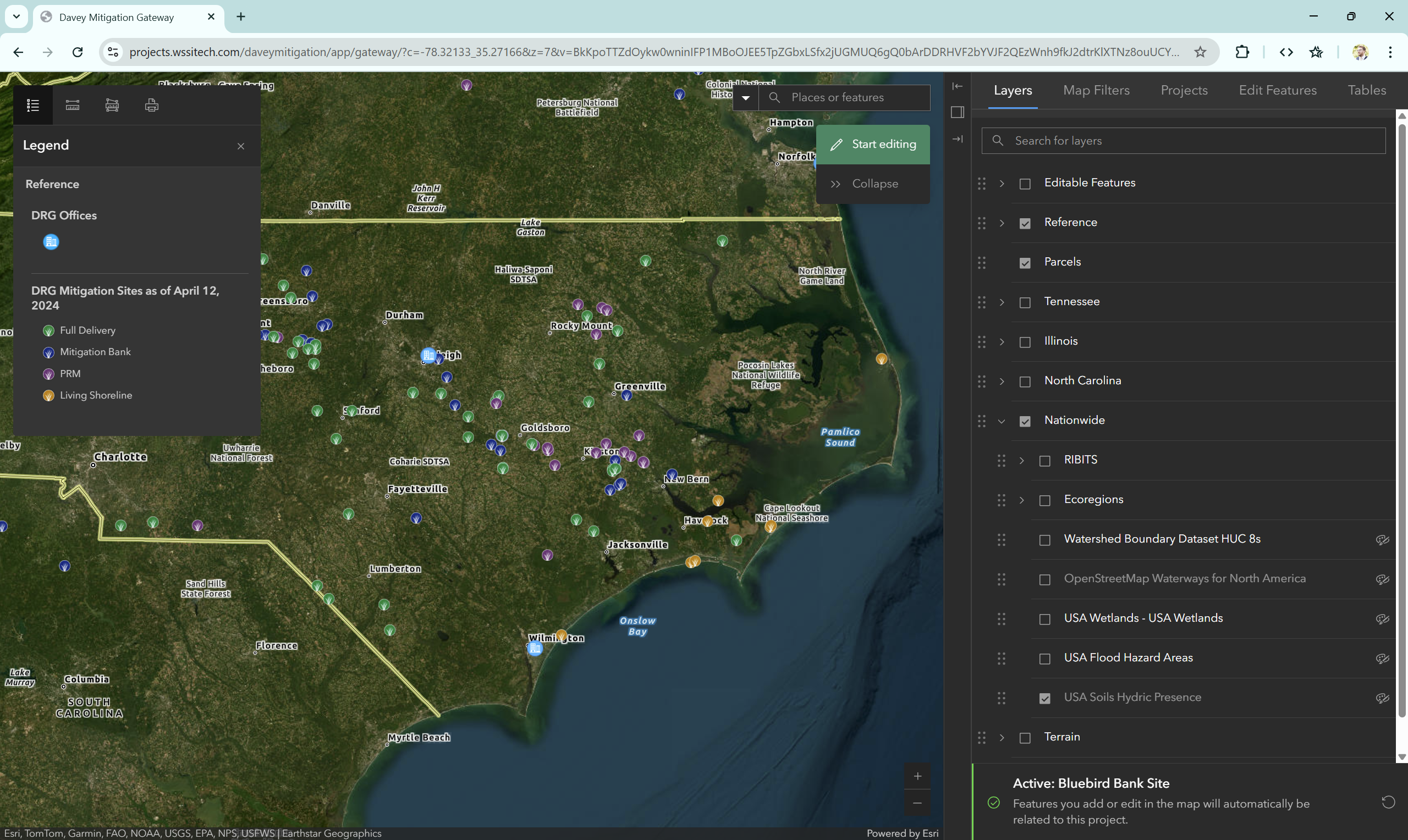 The main map can show any layers requested by Davey Mitigation.
 -
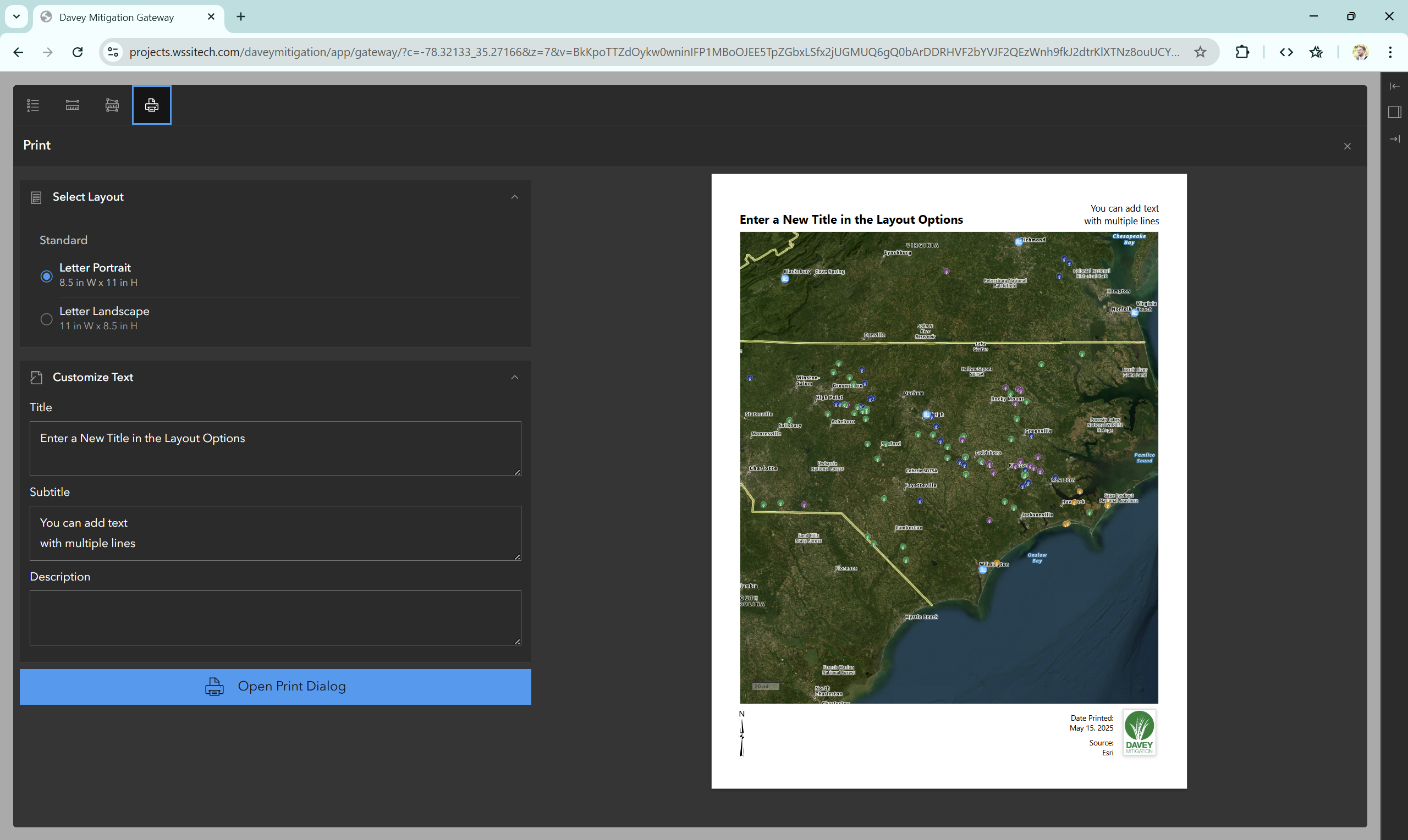 Users can print PDFs directly from the web app to send or show to landowners.
Project Facts
- Owner
Davey Mitigation - Location
U.S., various locations