The Challenge
WSSI worked with the District of Columbia Department of Energy and Environment (DOEE) to update the District’s Wetland Conservation Plan from its 1997 version.
Our Solution
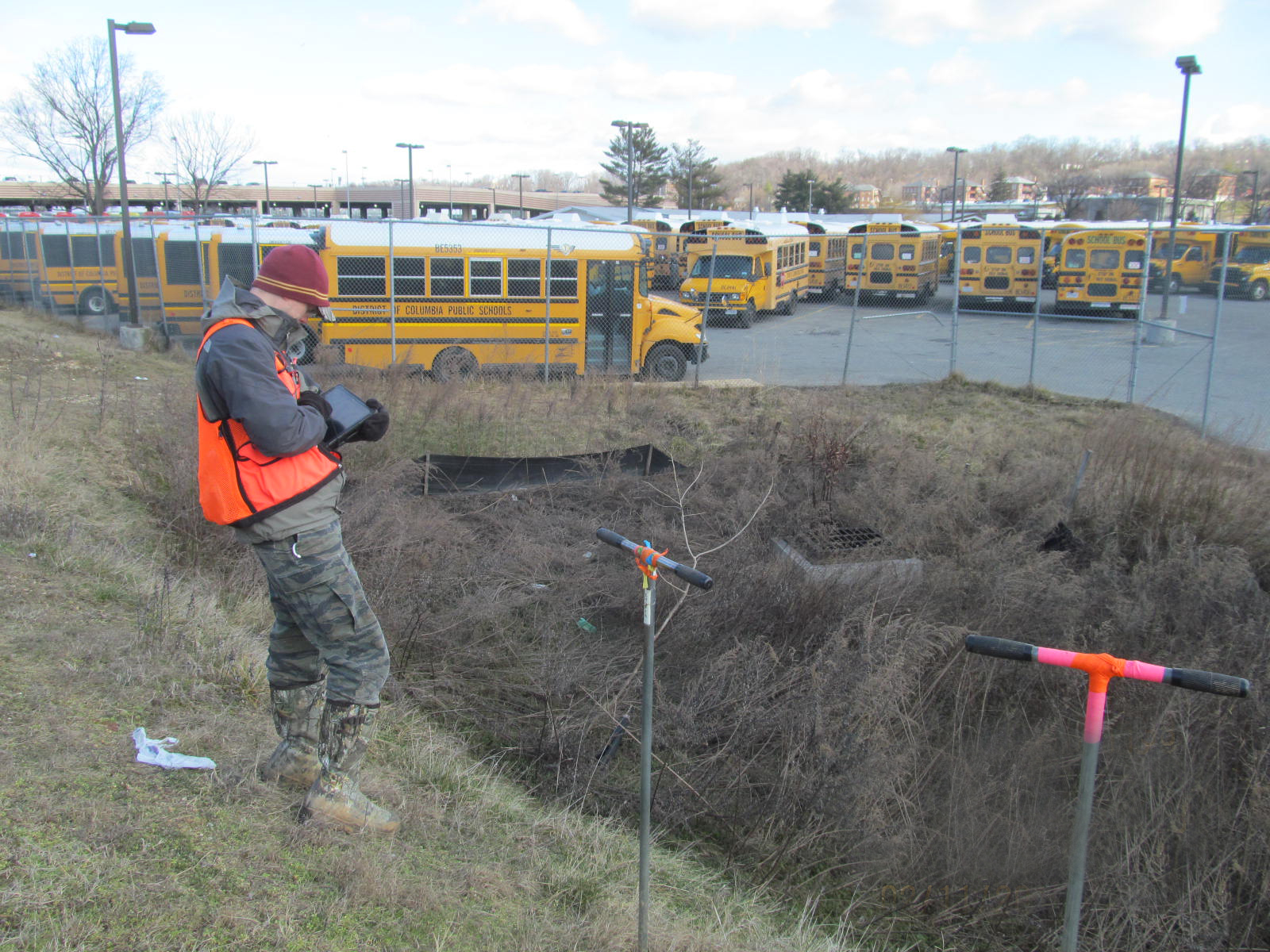
As part of this effort, our GIS and Environmental Science staff completed a desktop reconnaissance of the entire District, performed months of field work to delineate and assess wetlands, and helped develop the written conservation plan that focuses on the District’s wetland resources, their condition, and the regulations that ensure their continued existence and enhancement.
The significance of the District’s Wetland Conservation Plan is that it allows conservation agencies, non-profit groups, citizens, and developers alike to determine where wetlands exist within the District. With this advance knowledge, developers are able to plan avoidance or restoration measures earlier in the development process. If a developer determines that a project may not be able to avoid a mapped wetland, the Wetland Conservation Plan identifies the measures that must be taken if the wetland is impacted, per the District’s wetland regulations. The plan also maps areas within the District that have the potential for wetland creation, to help identify possible mitigation areas that can be used to offset unavoidable impacts.
In the 2018 Wetland Conservation Plan is the unique accompanying Wetland Registry geo-database that WSSI’s GIS staff developed to house all of the information that we collected throughout this project. Using our custom mapping interface, users can select a specific wetland and immediately view the location, size, functions and values, restoration or enhancement needs, and representative photographs.